
This is the parade ground in the middle of Fort Moultrie, and the photo below is the entrance to the fort, which is a National Monument on Sullivan's Island.

There were multiple cannons on display, aimed at all areas. This fort was in use during the Revolutionary War in 1776, then the Civil War, World War I and World War II. Some of the World War II influence can be seen around the fort.


This building is a more recent addition to the fort, since it was in use in World War II. Outside the building, there was a machine to send lighted signals to troops on the water. Both the building above and this signal machine are from World War II.


I thought the next photos were interesting, showing how ammunition arrived at the fort. The crates in the top photo are marked 1907. The barrels in the second photo are marked 1834.


This shows a direct hit during the Civil War, and is why fort walls are always very thick.

Another fort in the area is Fort Sumter.

Fort Sumter is quite far out in the Charleston Harbor, there was a large crowd visiting the fort that morning, so we were all brought out on the tour boat you see above. No dolphins to be seen, but it sure was good to get on a boat again.

This is the entrance to the fort itself, which was 3 stories tall when it was built, although only one story has been restored. Building on this fort started in 1829 and was not yet complete when South Carolina seceded from the Union. Their first battle was in 1861, another was started in 1863 when the Union tried to overtake the fort. By 1865, the fort was reduced to piles of rubble, although still in Confederate hands.


If you look to the right of this next photo, you'll see a hole where the fort was struck by a round from the opposing army.

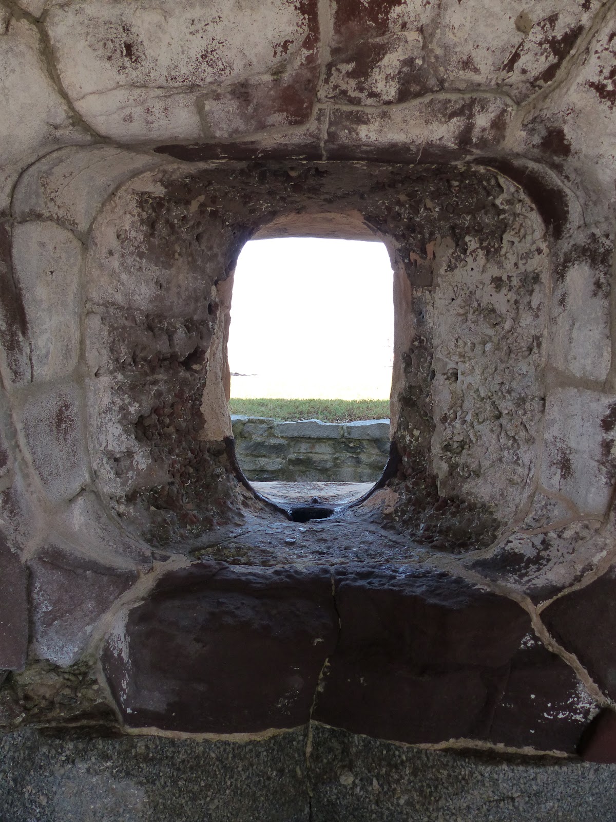

Looking out from the fort, they would have had a good view in all directions, especially with 3 stories.


