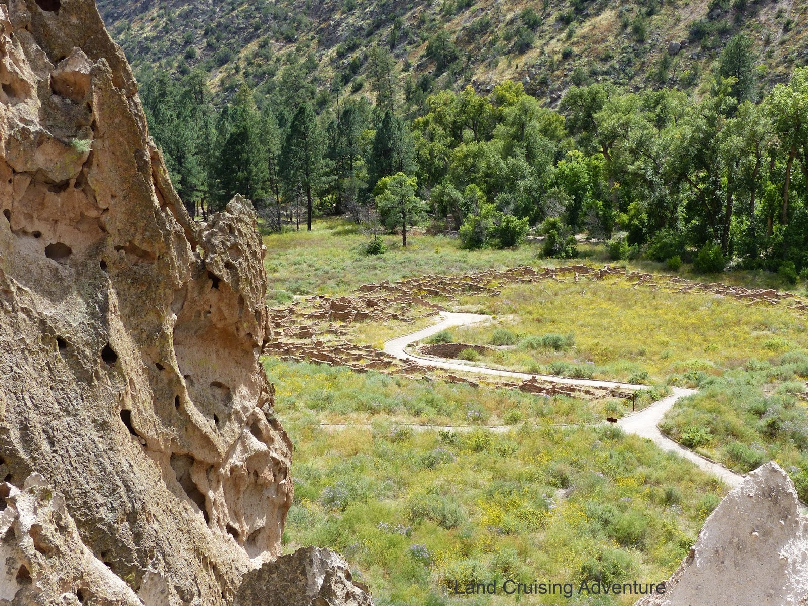
This site covers over 30,000 acres and is full of 12th century cliff
dwellings, as well as ruins of adobe dwellings.
There are major cliffs in this area, created by a
major volcano eruption over a million years ago. The many holes of various sizes were caused by erosion. The
Indians in this area enlarged some of the holes for
their homes by carving out larger areas.
In the main
area, the cliff dwellings were quite low and reached by walking up a hill and
climbing a ladder with possibly a dozen or so rungs. There are also circular ruins in this area left over from
some pueblos built in a field, along with a large Kiva, which was a
religious shrine. They may have been similar to the ones in the first photo above.
On the sheer
cliff wall, there were many petroglyphs of animals and circles, although it
seems that they have faded with the weather.
More evidence of former homes is nearby.
About a half
mile hike through the forest area is the Alcove House. This is a shelter high up on a cliff which is
reached by multiple ladders as well as steps built into the cliff. The sign says that it’s 140 steps up the face
of the cliff.
After a bit
of contemplation, I decided I really needed to climb up to the top, since I
came all the way to see it. Actually, it
wasn’t that much worse than climbing ladders to a sailboat sitting in the
haulout yard. Just way more steps to
each ladder, of which there were 4. In the photo below you can see other ladders in the bottom left.
The view from the shelter was great. It was up about the equivalent of a 14 story building and I was looking at all the tall pines way down at the bottom of the canyon.
The round
stone structure is another Kiva, which had been refurbished since it was
excavated in 1908. There were also a few
small caves carved out on the sides of the main shelter.
For anyone who might be in the area, it's a great trip. And for avid hikers, I understand that there are about 70 miles of trails. Some may require an overnight stay.


No comments:
Post a Comment