Showing posts with label red rock formations. Show all posts

Thursday, August 25, 2016

Lee's Ferry | Glen Canyon Recreation Area | Arizona


Lee's Ferry is quite well known and has an interesting history. The Colorado River runs for miles here both in Arizona and Utah. While exploring this area, I found a sign that told me I was entering the Grand Canyon , I was just wandering around by the Colorado River.


Back in the 1870s there was a man named John Lee who ran the ferry so that the settlers could cross the river with supplies. They chose this area since it's about the only place that didn't have high canyon walls. The crossings were not always safe, since the river ran quite briskly at times. The ferry ran for 55 years but by the time the railroads and autos were available, the final trip was in 1928. Unfortunately, that fateful trip was the end of the ferry, since it capsized and men were killed.


These photos show how gorgeous it is here, I love the photos with rocks that look bluish.


The area also has some strangely balanced rocks, as you can see below. These two rocks have been standing for a long time. They fell from the cliff in the background and then the sloped ground they landed on eroded away, leaving these strange toadstool-like formations. To show how large these are, I went to the one in the second photo and stood under it (very carefully). When I raised my hand, I still could not touch the large rock on top, which means it was well over 7 feet tall.


This is an area that has raft trips going down the rivers, through the rapids and dodging rocks. This is one of the larger ones, some of the trips are 7 days, with them providing gear and good - for only $3,000! The short half-day trips are "only" $100. The water is about 50 degrees during August.


Nearby is Navajo Bridge, which spans the Colorado River at this point. It is 834 feet all and is 467 feet above the river. It was finished in 1928, but it certainly does not look that old.


In this photo, you can see the actual bridge on the left and the pedestrial walkway on the right. There was no information on when that was built, but I imagine it's newer. It sure was a long way down!


The view from the bridge......
 
 
I had some little friends at my campsite, and they sat still a few times so I could get photos. The second one shows this little guy laying flat on his belly, since he was in the shade and the rocks were cooler there. 


They were so cute, one of them decided to climb up my chair. And then another one jumped up on my shoe. Obviously, they are used to humans and have most likely been fed (but not by me!). They are so skittish that they scrambled away as soon as I moved.


There was a small ranch that has been refurbished, which shows life as it would have been when the ferry was running.


This is called a dugout and was most likely used for food storage, since it would have been cool.


Wednesday, July 20, 2016

Bryce Canyon National Park | Utah


Bryce Canyon is a special  and amazingly beautiful place.  While I was in the area I took multiple trips to the park to be able to see most of it.  There are some areas that can only be seen by strenuous hiking.


The tree above has an amazing network of roots that enables it to live in this harsh patch of sand.


This is a closeup of part of a Bristlecone tree.  You can see the pine cones on it and if you look at the very end of that branch, it looks like another pine cone.  During the tour we had a very informative bus driver and he told us that it is actually a pollinator.  I think this is the first time I've seen a Bristlecone and it's very unique.


The photo above shows the tops of some of the hoodoos that are throughout the canyon area.    The hoodoos are  caused by erosion and ice and wind.  In the following pictures you'll see multiple examples of them.


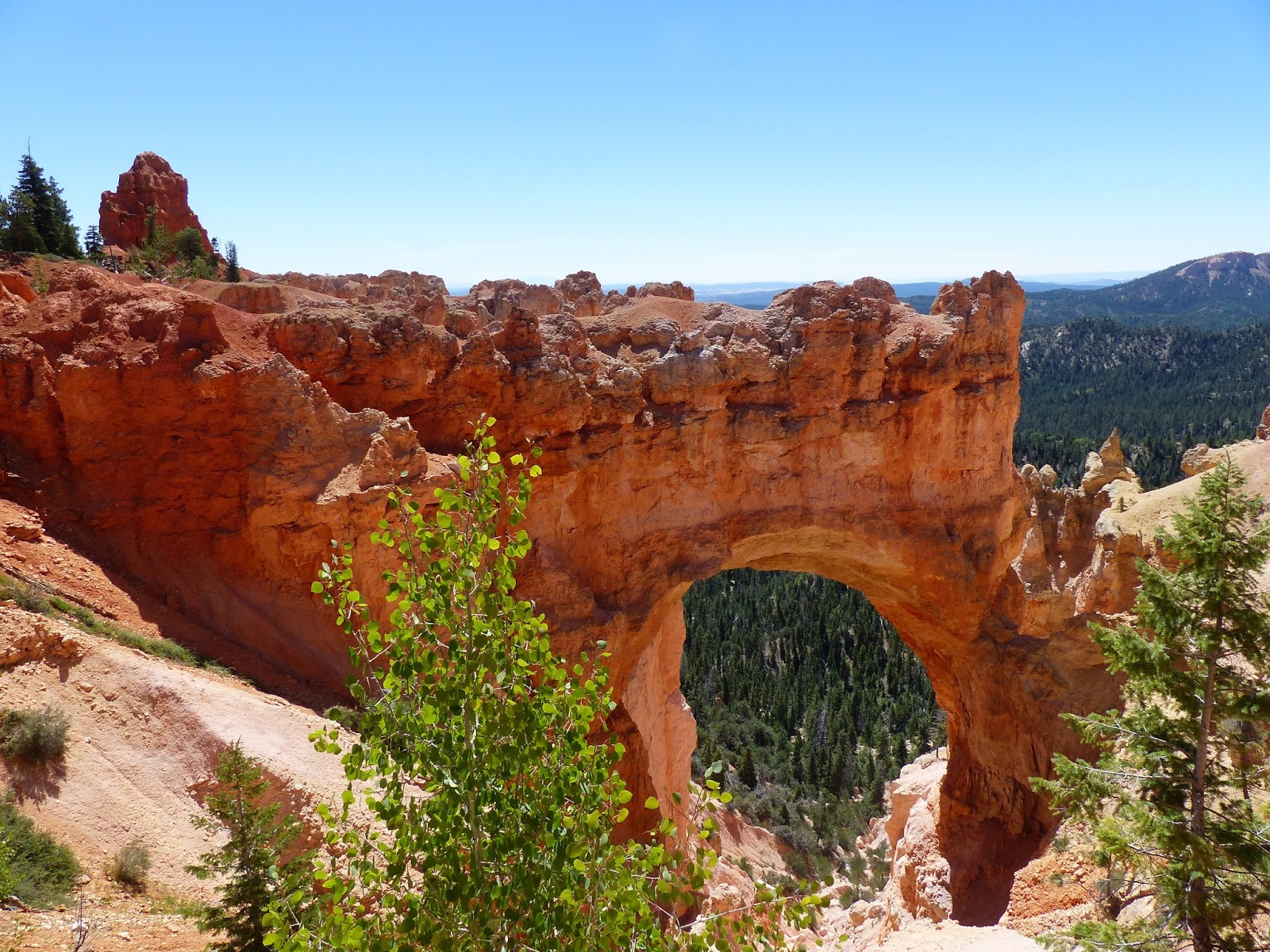
This last photo shows an arch, also caused by erosion.


Monday, June 6, 2016

Cedar Breaks National Monument | Utah


Cedar Breaks is a small national monument near Cedar City, Utah. It's up over 10,000' and on the drive up, we went on a winding, steep road that led us to areas that still had piles of snow on the ground (this is June!).


I'm not sure why this sign is parallel to the road.....


If you look closely at the photo below, you can see snow in the crevasses.


There was a furry little critter running around. We later talked to a ranger and she told us it's a marmot and they just started coming out from hibernation. She said they look a little skinny, but we thought they looked chubby.


More photos of the scenery....


Photos of the drive back to the camp from the monument. These were taken through the windshield.


I put together a short video of Cedar Breaks at - https://youtu.be/wBSEqd5YShw